Aerial archaeology services have been provided for a number of projects in Greece since 2012, such as the Australian Paliochora-Kythera Archaeological Survey (APKAS) project, with data samples shown below.
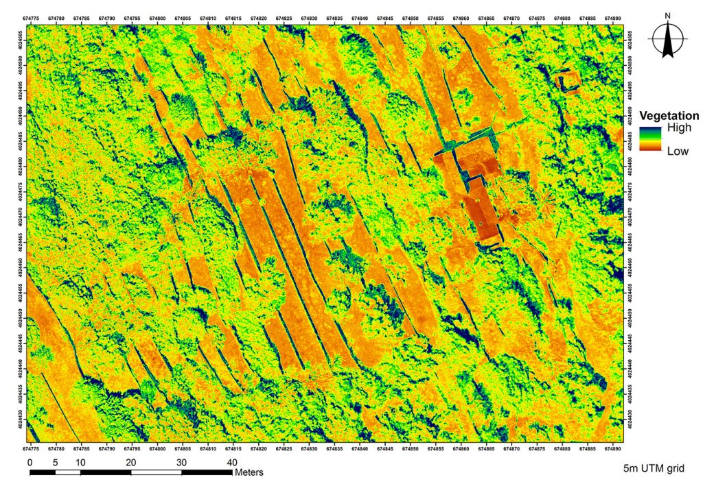
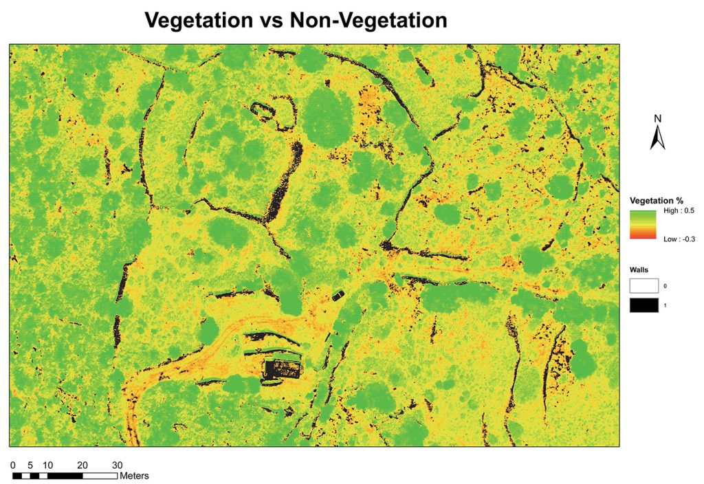
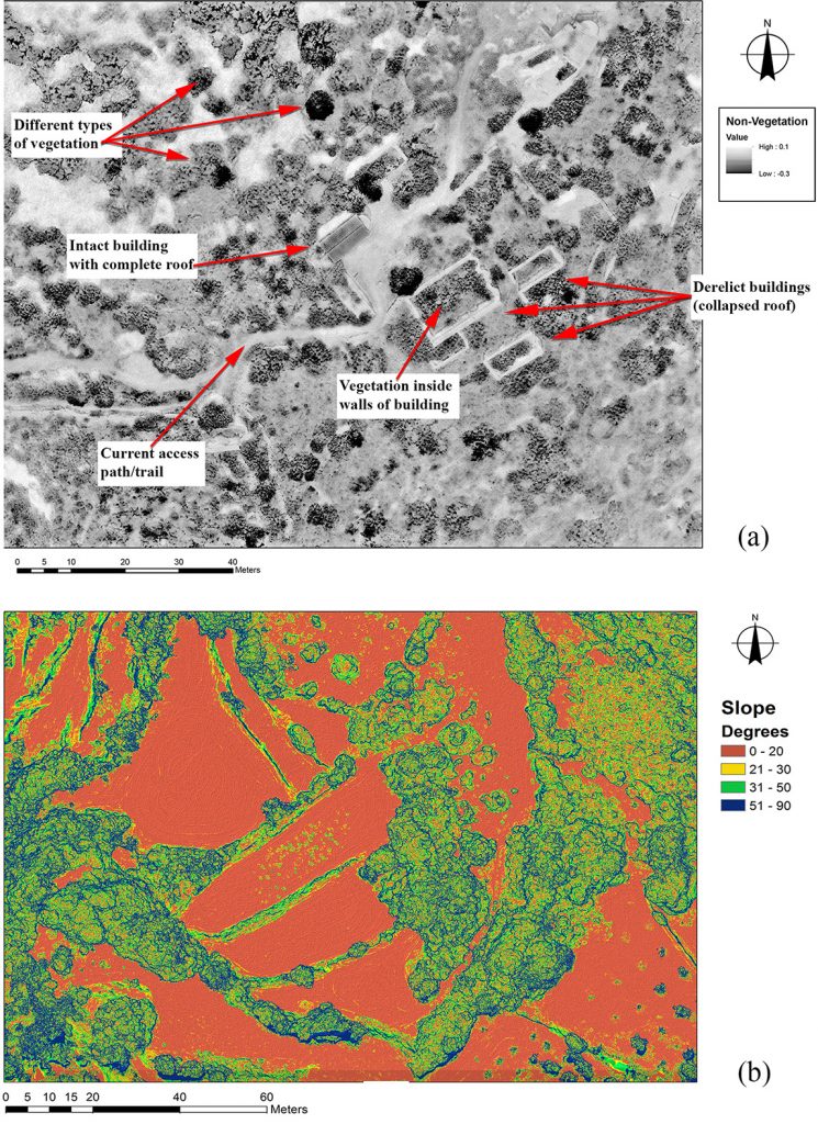
Aerial archaeology services have been provided for a number of projects in Greece since 2012, such as the Australian Paliochora-Kythera Archaeological Survey (APKAS) project, with data samples shown below.