Funded by the Belgian Directorate-General for Development and led by Humanity & Inclusion (HI) under the auspices of the National Mine Action Centre, Haut Commissariat National au Déminage (HCND) in Chad, from October 2018 to March 2020, the Odyssey 2025 Project explored ways to accelerate land release for local populations with the combined use of small unmanned aircraft systems (sUASs aka drones), new survey methods, and mobile data collection.
Examples
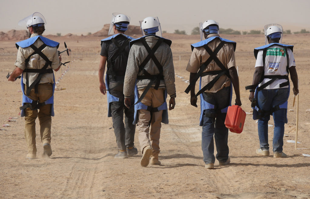
The following presentation provides examples of some of the work Mobility Robotics completed on the project.
More information about the sustainable programme model developed and implemented can be found here.
Mobility Robotics was responsible for applying: remote sensing, inspection and GIS techniques using commercial off-the-shelf (COTS), custom built drones and sensors to add value to operations. Where possible, we are trying to leverage the data capture potential from relatively low-cost, COTS sUASs. The concept of operations was to take readily equipment and software, combine known processes and defined indicators – to generate actionable operational intelligence. Rather than try to reinvent the wheel, we are striving to get better mileage from existing equipment and software that is already available to the humanitarian community.
Research Outputs
Research and development was one element of the project, finding new ways to innovate. Research articles and editorial published in the Journal of Conventional Weapons Destruction are available for open access from the following links;
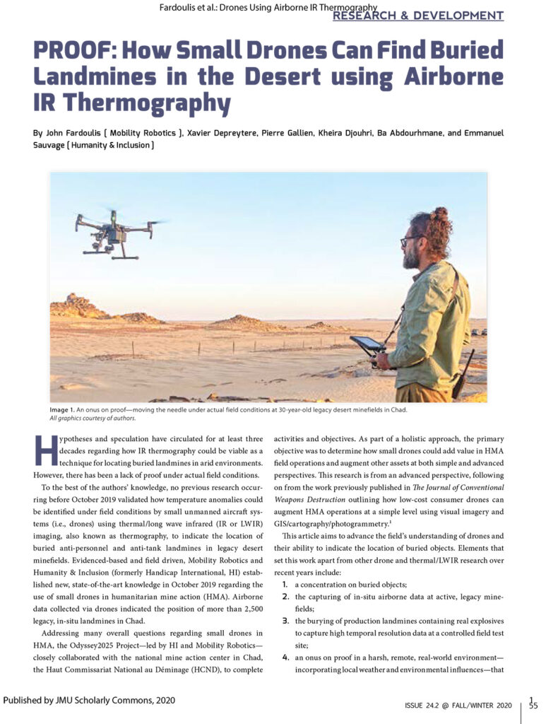
Proof: How Small Drones Can Find Buried Landmines in the Desert Using Airborne IR Thermography
Time to Stem Lightweight Approaches and Focus on Real Minefield Data?
Sample Data
The following videos show airborne IR thermography examples for locating 30-year old legacy mine rows in the Sahara Desert, northern Chad.
Increasingly, drone data will become more powerful due to breakthroughs in artificial intelligence, machine vision and deep learning. However, it is imperative that research is linked to real world conditions in post-conflict environments, to ensure that data inputs are relevant under actual field conditions.
Hence, a growing library of sample data will be shared from the Odyssey2025 project for researchers to gain a better feel for features and indicators in a desert environment. Initial sample data sets can be viewed and downloaded from here.
A central place for information about the project is located at: www.mr-au.com/chad.
Independent Review
The value of the work has been independently reviewed, with one of the more prestigious acknowledgements being from the European Commission awarding drone components of the Odyssey 2025 Project a €1,000,000 EIC Horizon (Horizon 2020) Prize for Affordable High-Tech for Humanitarian Aid.

John Fardoulis/Mobility Robotics was also awarded a Humanitarian Industry Champion award from the Australian Association for Unmanned Systems.

What Next?
The Odyssey 2025 Project in Chad ended in March 2020, meaning that it is time to create new projects, in new countries. John Fardoulis/Mobility Robotics can add value at all levels of operations, being a one-stop-shop with a focus on achieving practical real-world impact. Leveraging extensive skills and expertise in; programme design, strategic planning, methodology creation, innovation, research and development, institutional support, training and capacity building – at simple or complex/advanced levels. Trailblazing in post-conflict zones and making a difference in challenging, often hazardous environments.