Skip to content
  • News
  • Projects
    • Odyssey2025 – Chad
    • Humanitarian Mine Action (HMA)
    • Crater Forensics
    • Aerial Archaeology
    • UAS Aerospace Engineering
    • See fardoulis.co.uk for more
  • Research Articles
    • Humanitarian Mine Action Articles
    • Airborne Radiation Mapping Articles
  • Videos
  • Training
  • Capacity Building
  • About
  • Contact

Thermal Cartography

October 6, 2017October 7, 2017johnfardoulis

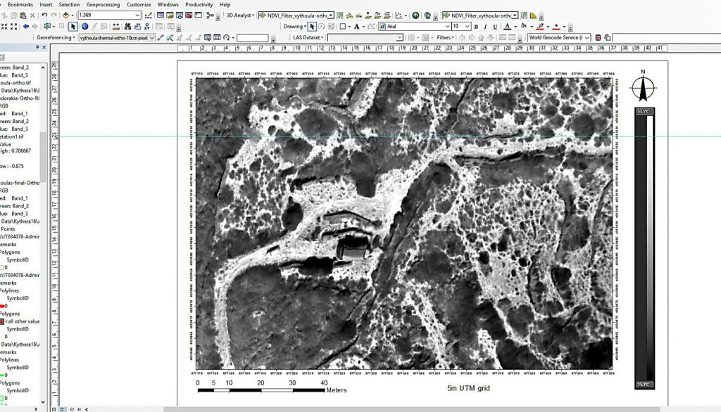
John Fardoulis has been experimenting with the combination of photogrammetry and thermal imaging techniques, to create geo-referenced thermal orthomosaics.

Imagine if Google Earth could be provided with thermal imagery, that’s the idea.

Cartography using data from a thermal orthomosaic (from UAS capture) in ArcGIS software.
Archaeology, Cartography, Engineering, GIS, Remote Sensing, Robotics, UAS/RPAS/Drones
Previous Article Return to Antikythera
Next Article Contracting to UK Space Research Group, RAL Space

About

Mobility Robotics (Australia) and Fardoulis Robotics (United Kingdom) are companies owned by John Fardoulis that  provide management consulting and provision of; aerial, ground, and underwater robotic services.

The perfect project partner – with extensive expertise in the design and implementation of unmanned aerial system (UAS, aka. drone or RPAS) programmes, usually in challenging environments. Previous work has taken place in countries such as: Australia, Cambodia, Chad, Japan, Germany, France, the United Kingdom, Greece and Kosovo.

Specialising in

• Consulting
• Programme Design & Implementation
• Research Design
• Joint Bid Proposals & Grant Applications
• Collaboration Building
• UAS/RPAS Flight Ops
• Field Campaigns
• Communication, Publishing & Outreach
• Hardware Selection & Procurement
• Software Selection & Data Processing
• Remote Sensing & GIS
• Training
• Underwater Robotics

Proudly powered by WordPress | Theme: Plane by WordPress.com.