Real World Breakthroughs: Small Drone Remote Sensing in Humanitarian Mine Action

This is the presentation by John Fardoulis of Mobility Robotics from April 22nd, 2021 during the ICRC and GICHD webinar on: The Use of Remote Sensing and AI in the Mine Action Sector.

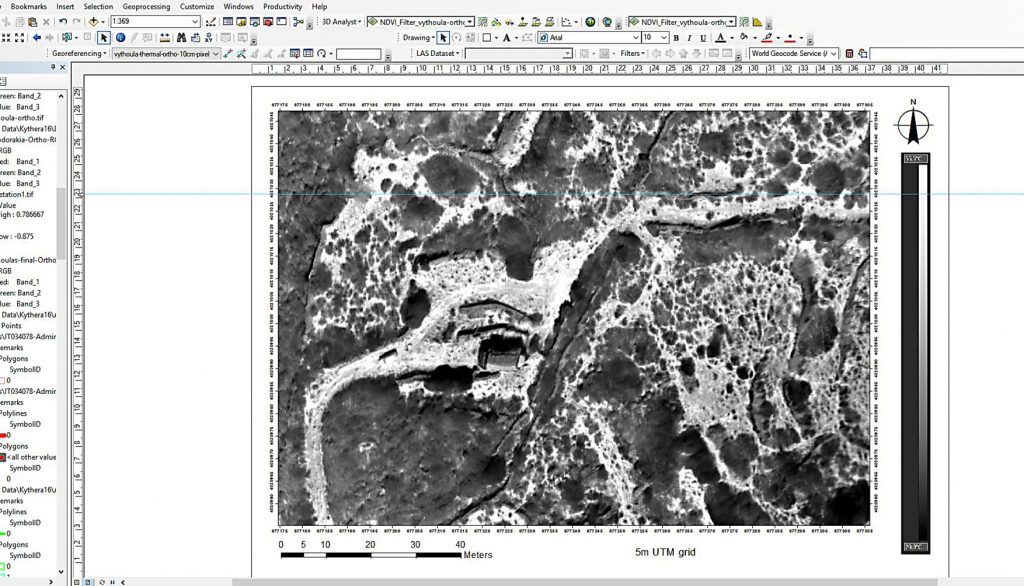
The presentation takes an in-depth look at breakthroughs using thermal imaging to find buried landmines from small drones in a desert environment, plus a more general look at the state of small drone remote sensing in humanitarian mine action (HMA).

Breakthoughs took place as part of the Odyssey 2025 Project which was delivered together with Humanity & Inclusion/Handicap International, under the auspices of the High Commission for Deming in Chad, the HCND, funded by the Belgian Department of Foreign Affairs and the European Commission.
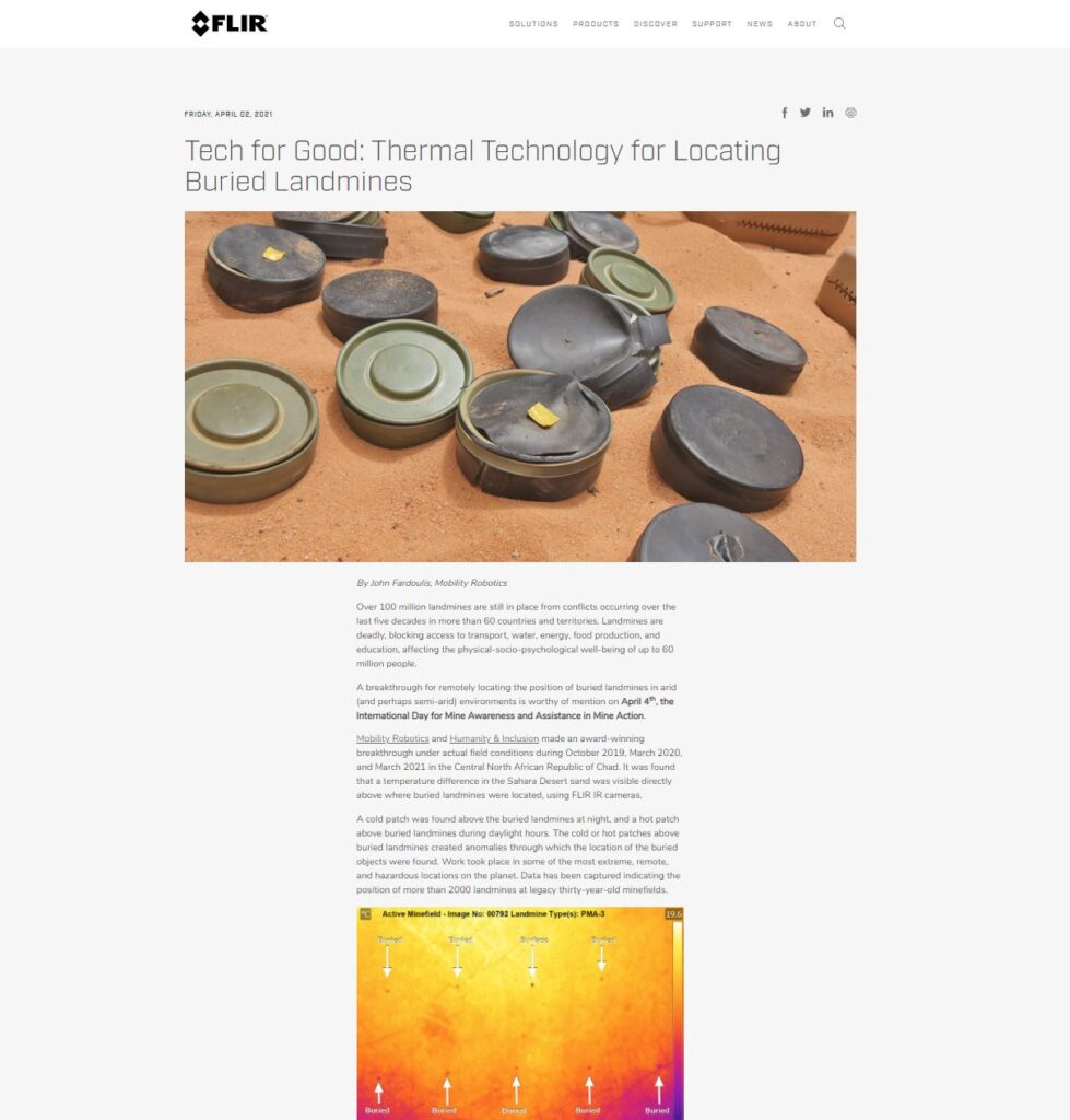
Tech for Good: Thermal Technology for Locating Buried Landmines

We’re pleased to announce that sensor manufacturer FLIR Systems will be supporting our research and the humanitarian mine action sector more generally – to help improve methods using thermal technology for locating landmines and explosive remnants of war that cause human suffering and contaminate land decades after conflicts have ceased.

FLIR Systems will assist with technical support, outreach and discounts under their Conservation Discount Program.

You can read more about how thermal technology can locate buried landmines on the FLIR website.

Contracting to UK Space Research Group, RAL Space

Sister company Fardoulis Robotics has been awarded a contract under the UK Science and Technology Facilities Council’s (STFC) Rutherford Appleton Laboratory (RAL) Space, in association with Cranfield University’s Centre for Electronic Warfare Information and Cyber, Defence Academy of the United Kingdom.

The project is humanitarian in nature, investigating how next-generation robotics and remote-sensing can help the humanitarian mine action sector deal with the devastating effects of landmines and explosive remnants of war (ERW). More information is available, here.

RAL Space carries out world-class space research and technology development with involvement in over 210 space missions.

Cranfield University’s Centre for Electronic Warfare Information and Cyber is a world-leading centre for research, education and consultancy on a diverse range of specialities in electronic and digital attack and protection. The Centre’s capabilities are widely respected within the defence and security sector, serving an extensive range of students, clients and organisations.


Return to Antikythera

The Return to Antikythera project is currently one of the most high profile underwater archaeology initiatives in the world. Expedition videos below provide insight into the calibre of this project.

John Fardoulis has been a member of the Return to Antikythera team for several years, with the most recent work being to provide a detailed terrain reconstruction of the coastline adjacent to the Antikythera shipwreck.

This data will be used to help build a floating dock, from which the Hublot-designed underwater ROV (aka. underwater drone), Bublot will be deployed in 2018.

The 2017 expedition video is below.

The following excerpt from the 2016 expedition video has had over 1.4 million views.

The 2015 expedition video is below.

Mobility Robotics has also provided aerial video services for a documentary being produced on the project.